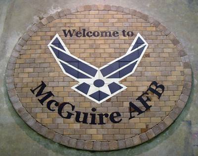
The McGuire Air Force Base (MAFB) site is an active facility that occupies more than 3,500 acres in a rural part of Burlington County, New Jersey. The base is bordered to the north by the community of Wrightstown, and to the east, south and west by the U.S. Army’s Fort Dix military installation. Past activities at MAFB in support of operational missions created a number of waste sources of potential environmental concern. Site investigations and long-term cleanup are ongoing.
McGuire opened in 1937 as a facility for the U.S. Army.
In 1937, then called Rudd Field was developed as an adjunct to the Fort Dix U.S. Army Training Center and was operated by the U.S. Army Air Corps. At that time, Rudd Field was a dirt-strip runway with a few maintenance and administrative buildings. In 1948, the site was transferred to the Air Force and officially designated McGuire Air Force Base. The determination that solid and hazardous waste had been generated, stored and disposed of at the site led to its inclusion on EPA’s National Priorities List of the most hazardous waste sites on October 22, 1999. – Source: EPA – EPA Proposes Agreement to Cleanup McGuire Air Force Base Superfund Site – 2009
Contaminants there include PCBs, pesticides, volatile compounds and metals. Petroleum and jet fuel were found in the soil, sediment, surface water and groundwater.
At McGuire, the EPA has
detected volatile organic compounds, PCBs, metals and pesticides by analysis of soil, waste material, leachate, groundwater, surface water and sediment samples collected from the various OUs. The risks to human health and the environment are under evaluation by the AF and EPA; however, some releases have been documented such as: a release to surface water of nickel and mercury, some mercury and nickel in sediment samples collected from wetlands areas immediately downstream of Landfill No. 2, fuel constituents in the Bulk Fuel Storage Area; and TCE contamination in the groundwater at OU 6 & 7. – Source: ATSDR
Full details from the EPA Superfund website here: http://cumulis.epa.gov/supercpad/cursites/csitinfo.cfm?id=0201162
CDC/ATSDR Details here: http://www.atsdr.cdc.gov/HAC/pha/PHA.asp?docid=453&pg=1
Contamination Map at McGuire-Dix-Lakehurst:
 Related Articles from around the Web:
- EPA Orders Air Force to Clean Up McGuire Air Force Base
- EPA Proposes Agreement to Clean Up McGuire Air Force Base Superfund Site
- Cleanup of McGuire Air Force Base Superfund site has made little progress, U.S. study says
- Veterans Kept In Dark About Chemical Exposures
- RCRA Corrective Action Report
The post McGuire Air Force Base #1 Wrightstown NJ appeared first on Civilian Exposure.